Deadly, record-breaking hurricane season to continue

Batten down the hatches for another nasty hurricane season.

Nearly every natural force and a bunch of human-caused ones — more than just climate change — have turned the last several Atlantic hurricane seasons into deadly and expensive whoppers. The season started Wednesday and looks like another note in a record-breaking refrain, experts warn.

They say many factors point to, but don’t quite promise, more trouble ahead: the natural climate event La Nina, human-caused climate change, warmer ocean waters, the Gulf of Mexico’s deep hot Loop Current, increased storminess in Africa, cleaner skies, a multidecade active storm cycle and massive property development along the coast.

“It’s everything and the kitchen sink,” Colorado State University hurricane researcher Phil Klotzbach said.

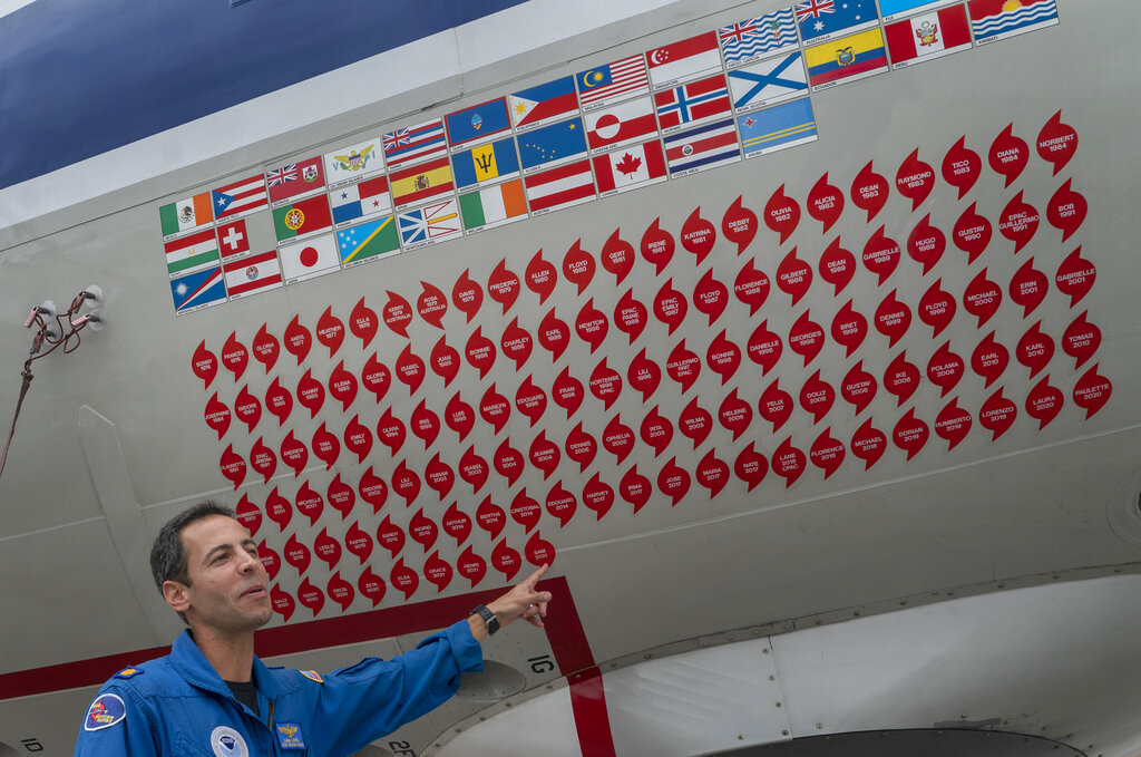
In the past two years, forecasters ran out of names for storms. It’s been a costly rogue’s gallery of major hurricanes — with winds of at least 111 mph — striking land in the past five years: Harvey, Irma, Maria, Florence, Michael, Dorian, Humberto, Laura, Teddy, Delta, Zeta, Eta, Iota, Grace and Ida.[related title=”” stories=”12597,12103″ align=”left” background=”on” background_color=”” border=”all” border_color=”#888888″ border_size=”1px” shadow=”on”]

More Category 4 and 5 hurricanes made U.S. landfall from 2017 to 2021 than from 1963 to 2016, National Hurricane Center Director Ken Graham said.

Graham, echoing most experts and every preseason forecast, said “we’ve got another busy one” coming. 

Last year, the Atlantic set a record for six above-average hurricane seasons in a row, smashing the old record of three in a row, and forecasters predict a seventh in 2022.

The only contrary sign is that for the first time since 2014, a storm didn’t form before the official June 1 start of the hurricane season, but forecasters are watching the Eastern Pacific’s record-setting Hurricane Agatha that looks likely to cross over land and reform as Alex in the Gulf of Mexico later this week.


5 facts for the 2014 hurricane season

The Associated Press 

Starting this hurricane season, forecasters at the U.S. National Hurricane Center in Miami will begin dropping small drones into extreme weather systems to study how storms strengthen and better predict a storm’s intensity. With the season’s official start just days away, here are five other things to know about hurricanes:

1. SLOW SEASON EXPECTED

Federal forecasters are expecting a slower-than-usual Atlantic hurricane season, with eight to 13 tropical storms and three to six hurricanes. There’s no way to tell whether any of those predicted storms will strike the U.S. coastline during the six-month season that starts June 1.

2. EL NINO

The weather phenomenon known as El Nino, which warms part of the Pacific every few years and changes rain and temperature patterns around the world, is expected to suppress the number and intensity of tropical storms and hurricanes this year. Cooler temperatures on the surface of the Atlantic Ocean compared with recent years will also lower the probability of hurricane formation.

3. WHEN DOES IT GET A NAME?

Forecasters name tropical storms when top winds reach 39 mph; hurricanes have minimum winds of at least 74 mph. The first storm name on the list this year is Arthur, followed by Bertha, Cristobal and Dolly.

4. STORM SURGE

Storm surge — the dangerous water rise created by tropical storms — is one of the deadliest and most damaging tropical storm hazards. This year, the National Hurricane Center will post color-coded maps to show coastal residents how far from the shoreline the water will spread and how high that water will rise.

5. A LITTLE BIT OF HISTORY

It’s been 10 years since the historic 2004 hurricane season, when four hurricanes hit Florida for the first time since record keeping began: Charley, Frances, Ivan and Jeanne. There were 15 named storms that season, nine of which were hurricanes. But those four Florida hurricanes remain among the top 15 costliest hurricanes to strike the U.S.